.png)
 18 hours ago
4
18 hours ago
4
 Image source, BBC Weather Watchers / David e
The sun is setting on the warm, sunny weather we've been experiencing
Elizabeth Rizzini
Lead Presenter BBC Weather
After the warmest start to May on record, the UK is now on a general slide back to what some might think of as typically British bank holiday weather.
In the last few days all four nations of the UK have marked their hottest temperatures of 2025 so far.
On Thursday we saw the UK's highest ever May 1 temperature of 29.3C at Kew Gardens, London. In Cardiff it reached 27.4C making it the highest recorded for Wales.
But as we head into a long bank holiday weekend - you've guessed it – it's set to turn a lot chillier everywhere.
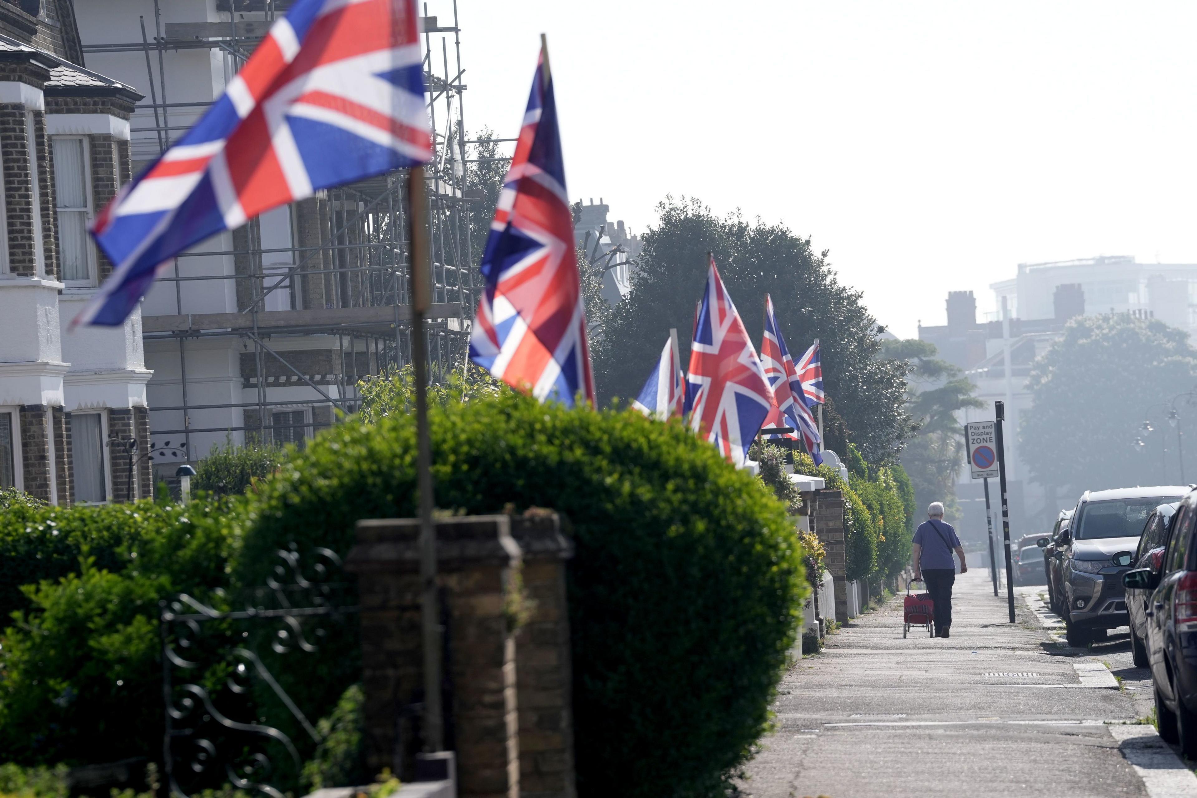 Image source, PA Media: Stefan Rousseau
Will the weather hold out for this weekend's VE Day 80th anniversary commemorations?
Colder air across the weekend
The area of high pressure that was responsible for the dry, settled and very warm weather is on the move, allowing weather fronts to move across the UK and bringing a change of wind direction.
Already it's turned a lot chillier across the northern half of the UK. But some warmth will hang on in the far south of England on Friday.
From Saturday a northerly to north-westerly wind will push a weak cold front south-eastwards introducing fresher feeling conditions for all.
There will be the risk of a few showers especially in the far north and the far south, but for most it will be dry with sunny spells. Temperatures will still be above average at 19-22C in the south, 14-17C in the north.
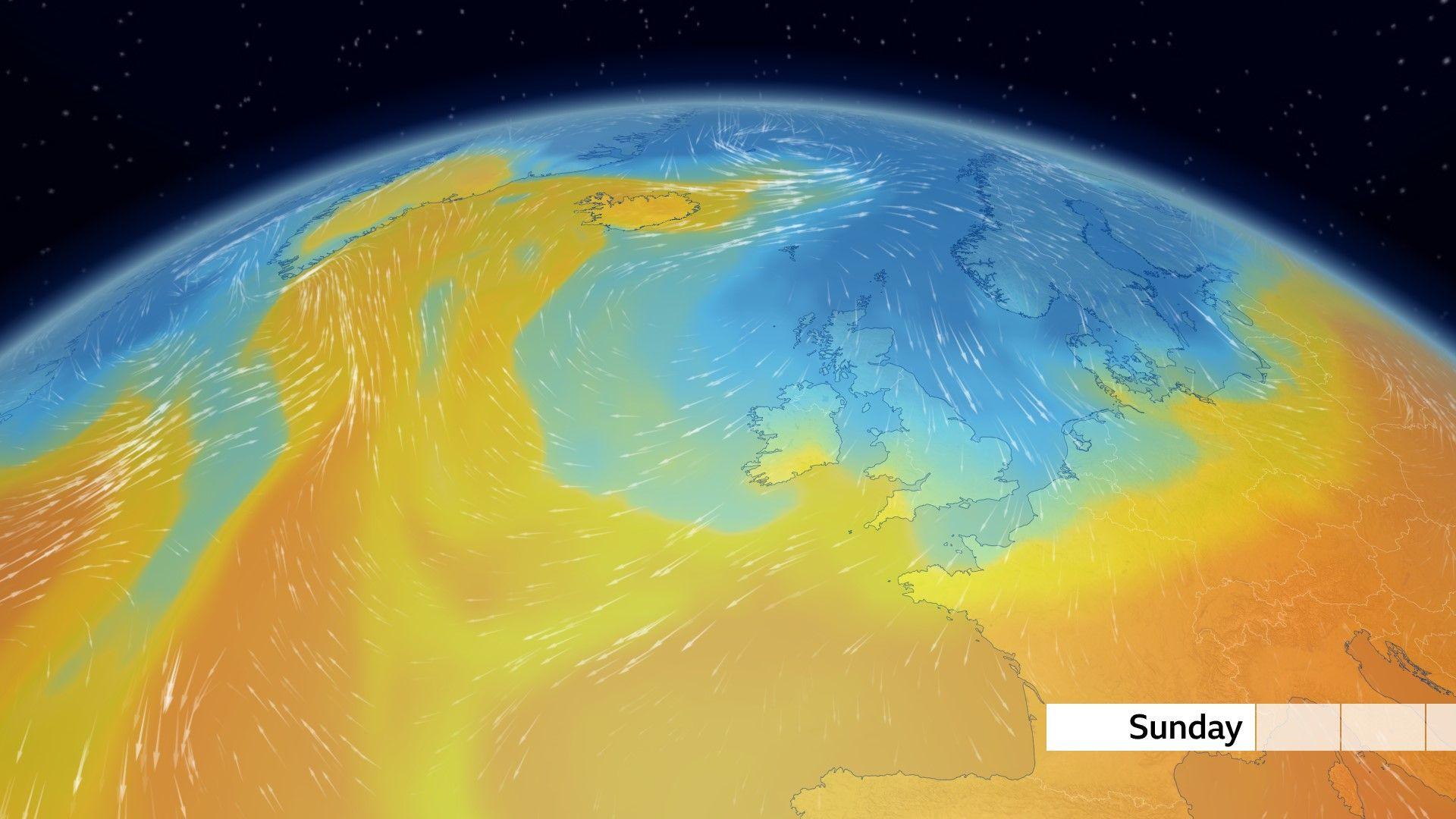
By Sunday temperatures drop below the May average as colder air is drawn down from the north
Sunday could see some wintry showers
For Sunday and the bank holiday on Monday it's looking similar, but cooler. With the wind blowing from a northerly to north-easterly direction, some fairly cold air for the time of year will be ushered in.
Whereas this week temperatures have been above average, by Sunday they will be below average - just 14-17C in the west of the UK, and only 12-15C in the east.
Onshore winds mean North Sea facing coasts may not get much past 9 -11C and there could even be a few wintry showers over the higher ground of Scotland.
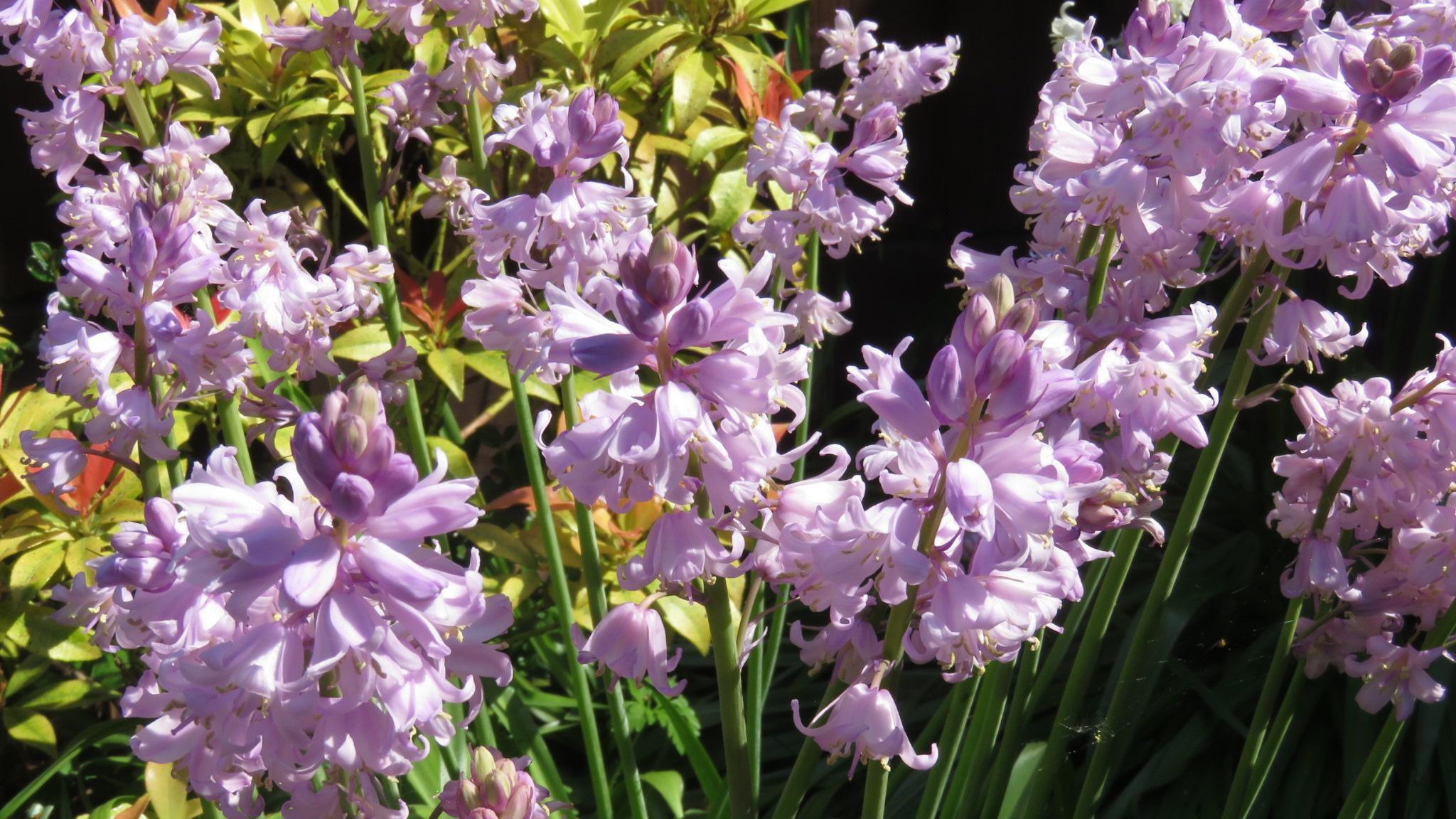 Image source, BBC Weather Watchers / Darryl
Frosts could still catch gardeners out
Cast ne'er a clout till May be out
As the old refrain goes - gardeners and growers beware!
There is always still the risk of frost in May.
On Sunday night into Monday morning this may the the case with temperatures forecast to drop widely into low single figures and possibly beyond.
Mostly dry for the bank holiday
All is not lost. Monday will feel slightly milder by a degree or so for many and there may be some sunny spells. In a sheltered, sunny spot it could even feel pleasantly warm.
The sunshine will continue to be as strong as it was throughout the week. Consequently you may well still need the sun-cream for that trip around the maypole or outdoor VE Day anniversary celebrations.