.png)
 3 months ago
125
3 months ago
125
 Image source, Nur Photo via Getty
Matt Taylor
Lead Weather Presenter
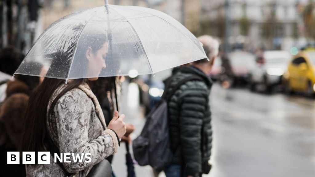
The UK is more likely to experience a hotter-than-normal summer with an increased chance for heatwaves, according to the Met Office.
In its most recent three month outlook, it has predicted that meteorological summer - which runs from 1 June to 31 August - is twice as likely to be hotter than normal in 2025.
The prediction follows an unprecedented spring which was the sunniest, as well as one of the driest and warmest, on record.
High chance of a hot summer
 Image source, BBC WeatherWatchers/Trevor
Sunny skies in May meant daytime temperatures were largely above the seasonal average
Seasonal, or long-range forecasts look at the expected general weather patterns over a three month period and are run by most major weather agencies separately to the detailed daily forecasts.
Due to the time frames and model resolution involved they are not able to tell if it will rain on a particular day or place in say seven weeks' time, but offer insights into how temperature, rainfall and wind strengths may compare to conditions normally expected over the entire period. These sorts of forecasts are helpful planning tools for government, local authorities and businesses.
Having looked at forecasts from a number of different global forecast centres there appears to be one common message, that the UK is likely to experience a summer that is "hotter than normal", with the Met Office saying there is more than double the normal chance of this., external
 Image source, Copernicus/ECMWF
Forecast temperature anomalies across the world for the northern hemisphere summer shows most areas are likely to see a warmer than normal season
This may not come as a huge surprise as it is very much in line with previous summers. In fact the last time the UK experienced one that could be classed as "cool" was back in 2015.
This does not necessarily mean that we will experience hot weather or heatwaves this summer, only that the risk of them occurring, and the health and infrastructure impacts they bring is greater. Variations within the summer period are still likely too.
So what is set to drive the expected warmth? With no strong signal for any particular weather pattern evident, the Met Office says that the warming is being largely brought about by human-induced climate change.
On a more local level, the ongoing marine heatwave in the seas around the UK may also help to boost the temperatures. The added warmth and moisture they may bring could potentially lead to more intense summer storms.
 Image source, Getty Images
River and reservoir levels dropped across the UK during spring following a lack of rain
Will rain ease drought fears?
Low reservoir levels and reduced river flows have become commonplace across the UK due to a spring deficient in rain.
Many water companies will be hoping for a wet summer to redress the balance and help avoid the need to introduce restrictions to water usage in the months ahead.
However, the seasonal forecasts are a lot less clear in how much rain we are likely to get.
Most point to near-average rainfall for the UK as a whole, with the Met Office hinting at the possibility it will be wetter than average, especially in the first half of June.
Agencies such as the European Centre for Medium-Range Weather Forecasts (ECMWF) and DTN, the BBC's data suppliers, side more towards a slightly drier than normal season overall.
Whatever the eventual outcome for the UK as a whole the often showery nature of summer rain means there can still be huge variations from one week to the next and from one region to another.
A marked example of this was in 2021 when some parts of southern England had around double their normal summer rainfall while much of western Scotland had barely half.
A consequence of a potentially hotter summer is that when rain does occur it will be more intense, in line with climate scientists' predictions, and potentially have bigger localised impacts.
Influence of Atlantic storms
Met Office seasonal forecasts also look at the probability of wind strengths across the season.
At the moment there is no strong signal one way or another to whether it will be a windy season or not. This may indicate that the likelihood of deep low pressure systems regularly crossing the UK is low.
An active Atlantic hurricane season is forecast but it remains to be seen what impact that will have on us, especially later in the summer when decaying tropical storms can come closer to our shores.